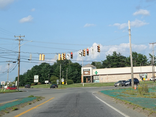
- Direction:
- North/South
- Southern Terminus:
- New Hampshire-Maine state line
- Northern Terminus:
- West Main Street (US 1/ME 161) in Fort Kent
- Distance:
- 400.96 miles
- Counties:
- York, Cumberland, Androscoggin, Kennebec, Somerset, Waldo, Penobscot, Piscataquis, Aroostook
- Signed:
- Yes
ME 11 is a north/south route passing mostly through some of the more rural areas of Maine. It is the longest state route in the state. It begins at the state line as NH 11 becomes ME 11. It is multiplexed with US 202 from the state line to Sanford, where it splits off to run through some of the smaller towns to the north. ME 11 rejoins US 202 in Auburn, just west of Lewiston, and the two routes are multiplexed once again to Augusta, where they split.
Heading out of Augusta, ME 11 crosses I-95 and runs to the west of the highway to Waterville, where it crosses I-95 again. ME 11 runs east of the highway to Newport, where it crosses I-95 one last time. Then, ME 11 runs north and east to Millinocket, where there is access to Baxter State Park and Mount Katahdin. In Medway, ME 11 turns to the north for the remainder of its length. This final stretch is known as the Aroostook Scenic Highway and passes through some of the most rural areas served by the state highway network. It is so rural that traffic lights and stop signs are few and far between. In fact, in the southbound direction, it is possible to drive for over 70 miles without passing a single traffic light or stop sign! ME 11 ends at West Main Street (US 1/ME 161) in Fort Kent, a few blocks away from the Canadian border.
| Photo Gallery |
|---|